


Dangerous Truck Corridors in Colorado


Colorado sits at the crossroads of several major freight routes, which means commercial trucks are a constant presence on the roads Denver residents drive every day, not just an occasional sight. This page covers the corridors that carry the most truck traffic in and around Colorado, and what documented Colorado data actually shows about safety on them, rather than repeating the kind of unsourced “most dangerous road” rankings that circulate online.
This is general reference information, not a substitute for reviewing the specific facts of a particular crash.
Denver’s Major Freight Corridors
Several interstates converge in and around Denver, and each carries substantial commercial truck traffic as a matter of basic geography and freight logistics:
- I-70, running east-west through the city and continuing into the mountains toward Grand Junction and Utah
- I-25, the primary north-south corridor through the metro area, connecting Colorado Springs to Fort Collins
- I-76, connecting Denver to the northeastern plains and interstate freight routes toward Nebraska
- Peña Boulevard, which carries significant freight and delivery traffic to and from Denver International Airport
- The I-25/I-70 interchange in north Denver, informally known as “the Mousetrap,” where two of the metro area’s busiest freight corridors meet
These are genuinely high-traffic routes for commercial vehicles. That said, naming a corridor as freight-heavy is different from ranking it by verified crash frequency, and this page does not present unsourced crash-count claims as if they were confirmed statistics.
I-270: A Documented Freight Bottleneck
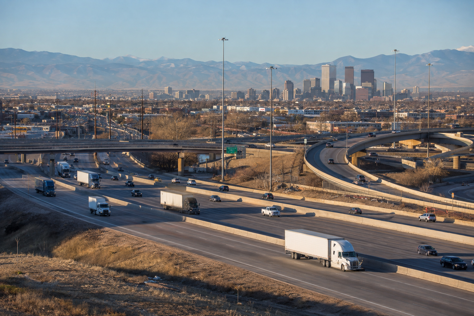
I-270, connecting Commerce City and north Denver to I-25 and I-70, deserves its own mention. CDOT’s own I-270 Corridor Improvements Study[1] documents more than 100,000 vehicles traveling the corridor daily, with freight trucks making up between 8 and 17 percent of that traffic depending on location, well above what a highway built in the 1960s was designed to carry. CDOT has identified the corridor’s congestion, deteriorating infrastructure, and crash-driven closures as key issues the current improvement project is meant to address.
The I-70 Mountain Corridor: A Documented Safety Concern
Unlike many general “dangerous road” claims circulating online, the risk on the I-70 mountain corridor west of Denver is backed by actual legislative and regulatory action. Colorado Senate Bill 24-100[2] created a restriction in 2024 on specific stretches of I-70, including Floyd Hill, Georgetown Hill, the Eisenhower-Johnson Tunnel, Dowd Junction, Vail Pass, and Glenwood Canyon. House Bill 26-1076[3], effective August 12, 2026, clarified the statute’s language: a commercial vehicle driver may not enter the farthest left-hand general purpose lane in those six specific segments unless entry is specifically required or authorized to pass by law.
The Colorado State Patrol actively enforces the lane restriction[4], and CDOT also uses variable speed limits and other safety measures in Glenwood Canyon. CDOT’s own stated rationale is that heavy vehicles traveling in the left lane on steep grades create sudden speed differentials that lead to spinouts, rear-end crashes, and lane-blocking incidents, and that a single semi blocking the left lane at a location like Vail Pass can shut down travel for hours. This is a rare case where a specific corridor’s risk to commercial vehicles is documented through direct government action, not just described in marketing content.
A Documented Example: The 2019 I-70 Crash Near Lakewood
What Denver’s Own Crash Data Shows, and What It Doesn’t
Denver’s 2019 Vision Zero annual report identified a High Injury Network[6], a set of corridors with high numbers of fatal and injury crashes. That analysis covered all vehicle types and is not a truck-specific corridor ranking. For current information, Denver also maintains a live Vision Zero data dashboard rather than relying solely on a report that is now several years old.
This page does not include a street-by-street ranking of truck-specific crash counts within Denver, because that data could not be verified against a primary source with confidence at the time of writing. Rather than publish an unsourced number, this page names the freight corridors that carry the most truck traffic and the documented risks that actually exist on them.
What Corridor Data Means for a Specific Claim
Knowing which corridors carry heavy truck traffic can help explain why a crash happened where it did, but it does not establish fault in a specific case. Our Colorado truck accident statistics page covers broader state and national data, and our evidence after a truck accident page covers what actually needs to be gathered to build a specific claim.
Frequently Asked Questions
What is the most dangerous truck corridor near Denver?
Why are trucks restricted from the left lane on I-70?
Was the 2019 I-70 crash near Denver caused by brake failure?
Does Denver track which streets have the most serious crashes?
How do I find out if a specific road has a truck crash history?
Sources
- Colorado Department of Transportation, I-270 Corridor Improvements Study
- Colorado Senate Bill 24-100, Commercial Vehicle Highway Safety Measures, Colorado General Assembly
- Colorado House Bill 26-1076, Transportation Statutory Clean-Up (amending C.R.S. § 42-4-1014), Colorado General Assembly
- Colorado Department of Transportation, I-70 CMV Lane Restrictions announcement (Dec. 2025)
- ABC News, contemporaneous coverage of the 2019 I-70 crash, conviction, and sentencing
- City and County of Denver, Vision Zero 2019 Annual Report (High Injury Network)
Client Stories
From the date I contacted Colorado Accident Attorneys I talked to Angela De La Garza I knew I had found a great lawyer. Back in 2019 I needed a Lawyer; for my husband, he had a very bad fall on Nov 27,2019,…
We contacted Colorado Accident Attorneys about a legal issue. My husband’s call was returned promptly. Our experience was five stars all the way through the process. Brad Hansen was the attorney and Angela De La Garza his assistant. Both treated us with…
Top Rated Lawyers in the State of Colorado


Talk to a Colorado Truck Accident Attorney About Your Claim
Corridor data can explain general risk, but it cannot tell you what happened in your specific crash. Elkus & Sisson, P.C. represents injured drivers and families across Denver, Greenwood Village, Lakewood, Aurora, and Boulder in personal injury matters including truck accident claims, trucking company liability, catastrophic injury, and wrongful death. See our Colorado office locations to find the one nearest you.
If you have questions about a truck accident on a Denver-area corridor, contact us or call +1 303-567-7981 to schedule a confidential consultation.